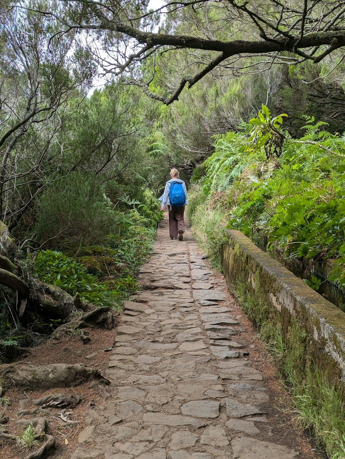
Madeira’s permit system exists for good reasons. The PR1 Pico do Arieiro to Pico Ruivo ridge walk is genuinely fragile terrain at high altitude; PR6 at Rabaçal handles the kind of visitor numbers that would destroy a smaller trail without management. The system works — but it also means that travellers who arrive without pre-booked permits in July or August can find every regulated slot taken for the next three weeks.
The island has more than 200km of levada irrigation channels, most of which predate the permit system by centuries and carry no booking requirement. The five routes below were all permit-free as of 2026. Trail regulations do change annually; confirm the current status via the SIMplifica portal before setting out.
PR14 Levada Nova (Calheta to Ponta do Sol)
The most scenically varied permit-free levada on the island. PR14 runs 11km along the southern coast of Madeira at mid-elevation, passing through banana plantations, terraced smallholdings, and eucalyptus forest before descending toward Ponta do Sol village.
The levada itself dates from the 16th century — one of the oldest water management channels still in active use on the island. The path follows it at a constant elevation of around 300 to 450 metres, meaning the views out over the Atlantic are continuous for much of the route. On clear days the island of Porto Santo is visible to the northeast.
This is a linear route, which means planning transport back from Ponta do Sol to Calheta or arranging to be dropped off at one end. The 107 bus connects both villages, though the schedule is limited — check the Horários do Funchal app for current times. We have a full guide to PR14 on this site with trailhead directions and parking details.
Levada do Norte: Boa Morte to Serra de Água
The Levada do Norte is one of Madeira’s great overlooked walks — not because it is inferior to the regulated routes, but because it lacks the Instagram recognition of the laurisilva tunnels on PR9 or the waterfall at Risco. It is consequently almost always quiet.
The most accessible section runs approximately 7km between Boa Morte and Serra de Água in the central highlands, passing through pine and eucalyptus forest at around 800 metres altitude. The path is flat — levadas by definition follow contour lines — with a wide gravel surface that requires no special footwear beyond comfortable walking shoes.
Access: drive to Boa Morte village (above Ribeira Brava, reachable via the VR1 motorway and then the EN104). Park near the church. The trailhead is signed. No permit required as of 2026. Allow 2 to 2.5 hours each way; the return follows the same path.
Levada do Moinho, Paul da Serra
The Paul da Serra plateau is Madeira’s high moorland — treeless, windswept, and at 1,400 metres the closest the island gets to an alpine landscape. The Levada do Moinho crosses the plateau and descends the northern escarpment, with views that extend to the sea on clear days and into cloud on others, both atmospheric in different ways.
This section is approximately 6km one-way. The plateau walking is exposed (warm layers essential, even in summer — the Paul da Serra creates its own microclimate) but technically easy. The descent toward Rabaçal on the northern side is the same road used by the buses to reach PR6’s trailhead — meaning this walk brings you close to the Rabaçal area without entering the regulated zone.
Drive to the Paul da Serra plateau via the VR1 turning for Prazeres. The Levada do Moinho trailhead is near the junction for Estanquinhos. No permit required as of 2026. This walk is best attempted mid-morning once the plateau cloud has typically lifted.
Vereda do Fanal (PR13)
The Fanal forest in the northwest of Madeira is among the most otherworldly landscapes on the island — ancient laurisilva trees contorted by Atlantic wind into shapes that would not look out of place in a Tolkien illustration. The PR13 Vereda do Fanal route through this area was permit-free as of 2026 and regularly less crowded than the regulated alternatives.
The route is approximately 14km from Porto Moniz on the north coast to Fanal, descending through the old-growth forest with sea views on the northern approach. The forest section near Fanal can be walked as a shorter out-and-back (approximately 5km return) from the Fanal picnic area car park, which has parking and basic facilities.
The terrain is rougher than the levada routes above — tree roots, uneven stone, and some steep sections. Walking poles are useful. Boots rather than trail shoes are recommended when the ground is wet (which is most of the time in the cloud forest). Best visited on a clear-ish morning before the cloud closes in.
Levada das Rabaças, Eastern Madeira
Eastern Madeira receives fewer visitors than the central and northern regions, partly because the terrain is lower and drier — there are no dramatic waterfalls or laurisilva forest here. What there is instead is a landscape of terraced vineyards, small farms, and coastal cliffs that feels closer to everyday rural Madeira than to the island’s tourist circuit.
The Levada das Rabaças runs across the eastern peninsula near Caniçal, approximately 8km one-way, finishing above the Baia d’Abra viewpoint with views of the Desertas islands offshore. The path is well-maintained and flat throughout. No permit required as of 2026.
Getting to eastern Madeira is straightforward from Funchal — the VE3 motorway reaches Caniçal in around 30 minutes. Parking near the Santa Catarina levada trailhead. This walk works particularly well combined with a visit to Ponta de São Lourenço (PR8), the narrow peninsula at Madeira’s eastern tip — another popular spot that operates on a free-access, timed-entry system rather than a full permit, with availability generally better than PR1 or PR6.
Practical Notes
The SIMplifica permit system applies to specific routes and is reviewed annually by the Regional Secretariat for Environment and Climate Change. Routes permitted one year may not be the following year, and occasionally additional routes are added to the regulated list. Always check the official SIMplifica portal (simplifica.madeira.gov.pt) before planning, particularly if travelling in peak season.
Guided walking tours with licensed Madeiran operators often include permits as part of the booking — particularly for PR6 and PR1 — making a guided trip a reliable option when self-guided slots are unavailable. The Madeira Walking Festival in April each year includes guided versions of many regulated routes with pre-allocated permits, and often coincides with quieter trail conditions at the start of the season.
All five routes above are most enjoyable from late March through June and in September and October, when the weather is stable, the days are long, and the levada channels are running full.
Plan Your Trip
🏨 Search hotels in Madeira on Booking.com
For a structured week in Madeira that incorporates both permit-free and guided levada walks, our one-week Madeira itinerary builds in the best routes alongside island exploration. Our which Azores island guide is useful if you’re weighing up Madeira against the archipelago as an island escape from mainland Portugal.
Plan Your Trip
- Flights - Find the best fares to Portugal
- Travel Insurance - Get covered before you go
- eSIM - Stay connected from landing
- Car Rental - Compare prices across providers
See also: Madeira island guide · 1 week in Madeira itinerary · Madeira vs Azores